HIKING ROUTES IN ASTURIAS
WE HAVE THREE OPTIONS, YOU CHOOSE THE ONE THAT FITS YOU THE BEST
ROUTE 1: SUEVE MOUNTAIN RANGE AND VIEWPOINT EL FITO
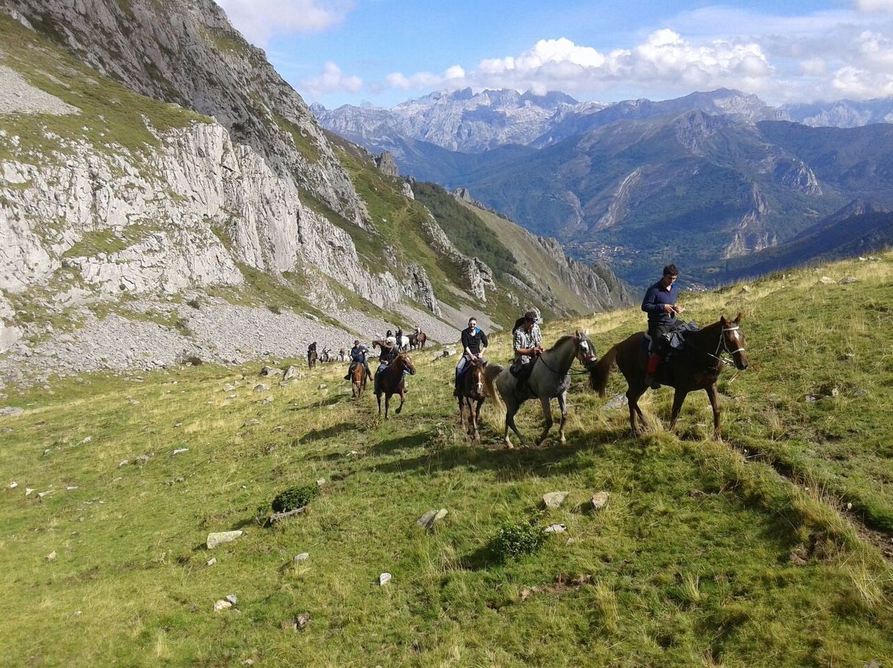
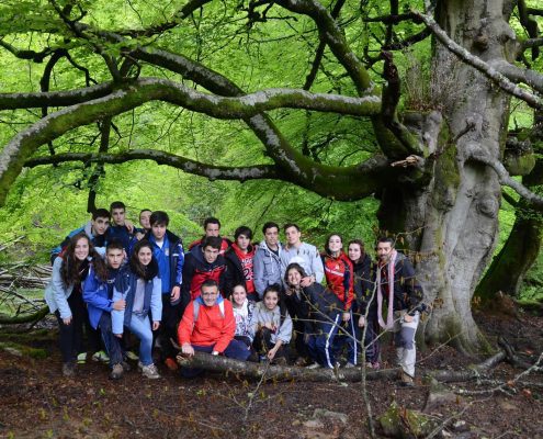
East of Asturias, in front of the coasts of Colunga and Caravia, there is the Pico Pienzo, a mountain 1 161 meters high, highest mountain of the mountain range El Sueve. This route starts going up a gravel road which starts in “Casa Julia”, 100 meters away from the crossroad of Arriondas´ highway (AS-260), until the forest of La Biescona. This beautiful forest is considered as the one with less altitude and closest to the coast in all Asturias. You will see beeches, oaks, birches, and many ferns and mosses.
We keep on going up until the cabins of Bustaco, where we can rest some minutes to drink and eat something quick: the top of “Pienzu” is waiting for you. From up there you can see the relief of Asturias, beaches and villages. Also it is common to see animals such as fallow deer (introduced 40 years ago), cows, sheep, etc.
You will go down the same way you went up and if you still have some energy left, we advise you to take the car to the viewpoint El Fito.
Time taken: 4 hours approximately.
ROUTE 2: COVADONGA LAKES, VEGARRENDONDA REFUGE AND VIEWPOINT ORDIALES
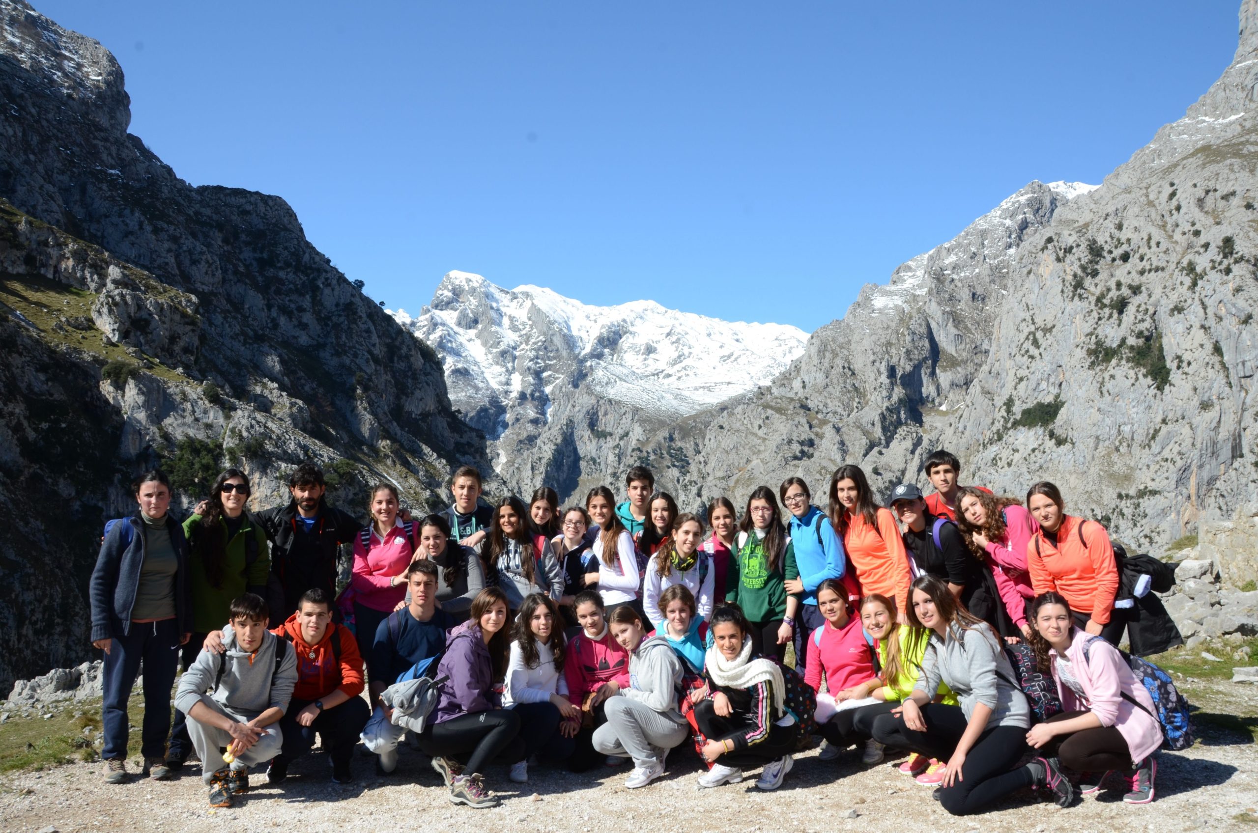
Our clients love to visit the Shrine of Covadonga and after go up until the Lakes of Covadonga, but also if you want to hike and go into this National Park, we recommend to take the way that goes along the edge of the Enol lake and takes you until the mountain refuge of Vegarredonda.
From the wood bridge that crosses the Pomperí river on it starts a comfortable ascent to then go through the fold of Vega La Piedra, where there are huge rocks moved thousands years ago by the glaciers force. If you take a look you can see the mountain range of Cornión which is in front of it, and the Cantabrian sea at your back.
The refuge of Vegarredonda is half way between the Enol lake and the viewpoint of Ordiales. If you are tired or hungry, it is a good idea to stop here. After passing the refuge, and going strongly up by a zig-zag road, we arrive to the free range of Ordiales. Careful here because this area is full of dangerous gaps and chasms in the limestone. Very important not going out of the way.
One last effort and we will arrive to the viewpoint, which in sunny days will amaze everyone with its spectacular views of the city councils of Amieva and Ponga; and in cloudy days you can get to touch the clouds with your own hands. The comeback will be done the same way we came.
Time taken: 6 hours approximately
ROUTE 3: PONCEBOS TO BULNES
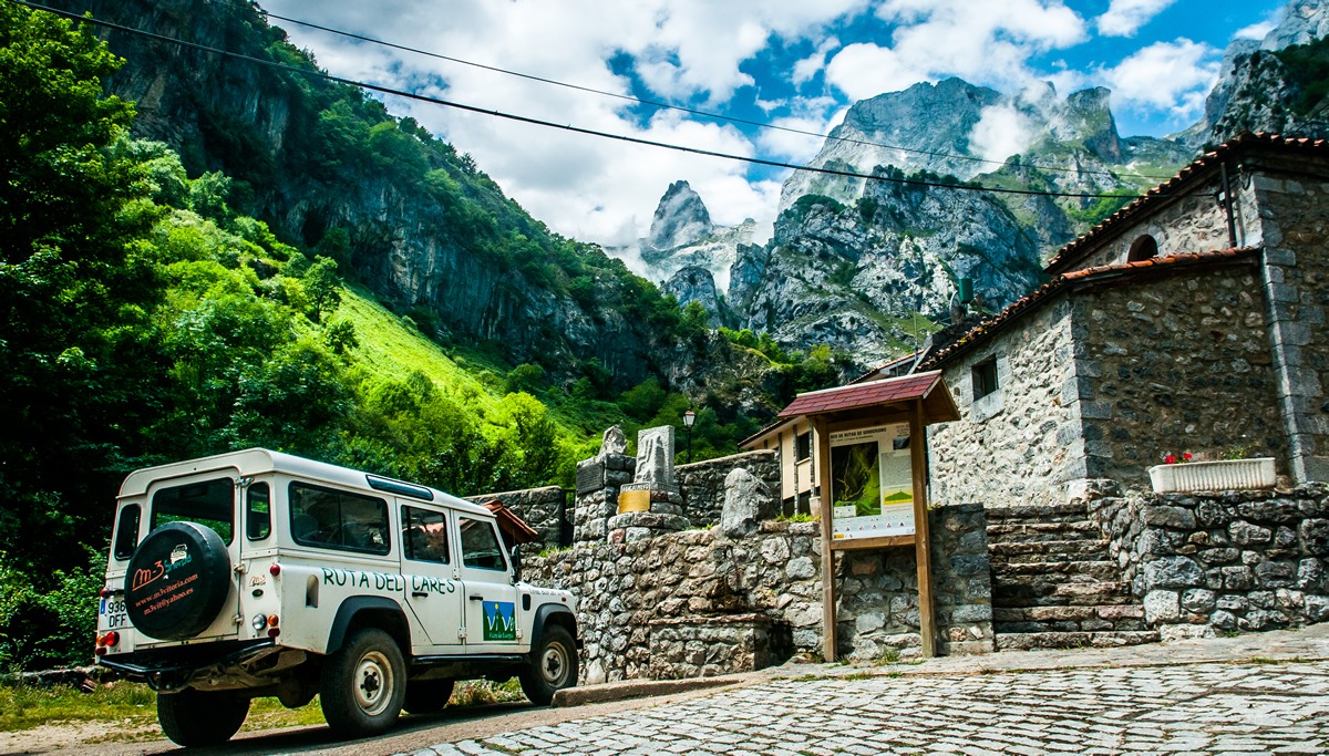
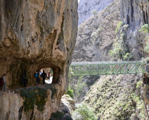
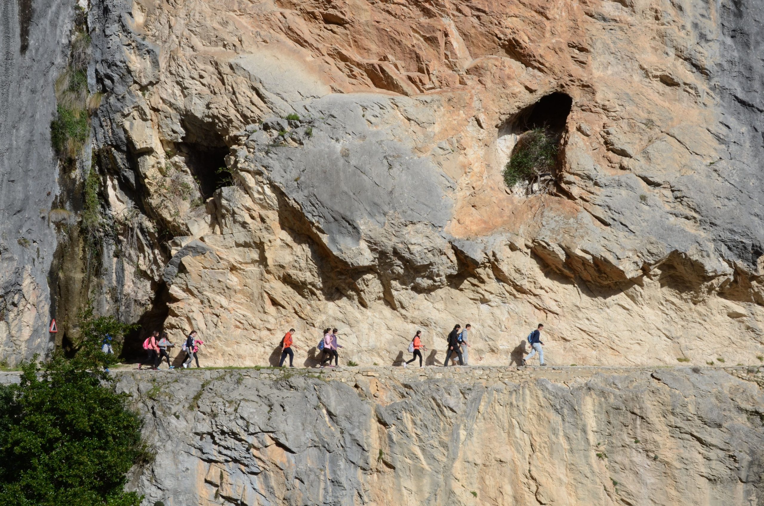
Today we propose to visit the council of Cabrales, well known region because of its cheese. From the parking lot of Poncebos we walk some meters by the road until the access to the “Cares route”. We take at the left a track that starts going down, crosses the Cares river and then goes up. You will have to walk slowly but surely, as in the 4 km tour there are 600 meters of grade.
As we go up we will be seeing spectacular views of the geological formations of this place, with the pierced limestone and sculpted by the rivers strength. In front of it there is the village of Bulnes, and at the back Camarmeña. Nowadays, Bulnes is still one of the few Asturian villages which is not communicated by road; nevertheless in 2001 a cable car was made, which is also used for tourists.
In the afternoon we will visit the museum-cave of the Cabrales chees, in Arenas de Cabrales, with exhibitions that show the handmade method used to make this cheese. If the weather allows us, there can also be seeing beautiful views of the mountain “Naranjo de Bulnes”.
Time taken: 3 hours (going and comeback) plus the guide visit to the museum.
ADVENTURE PARK OF ASTURIAS
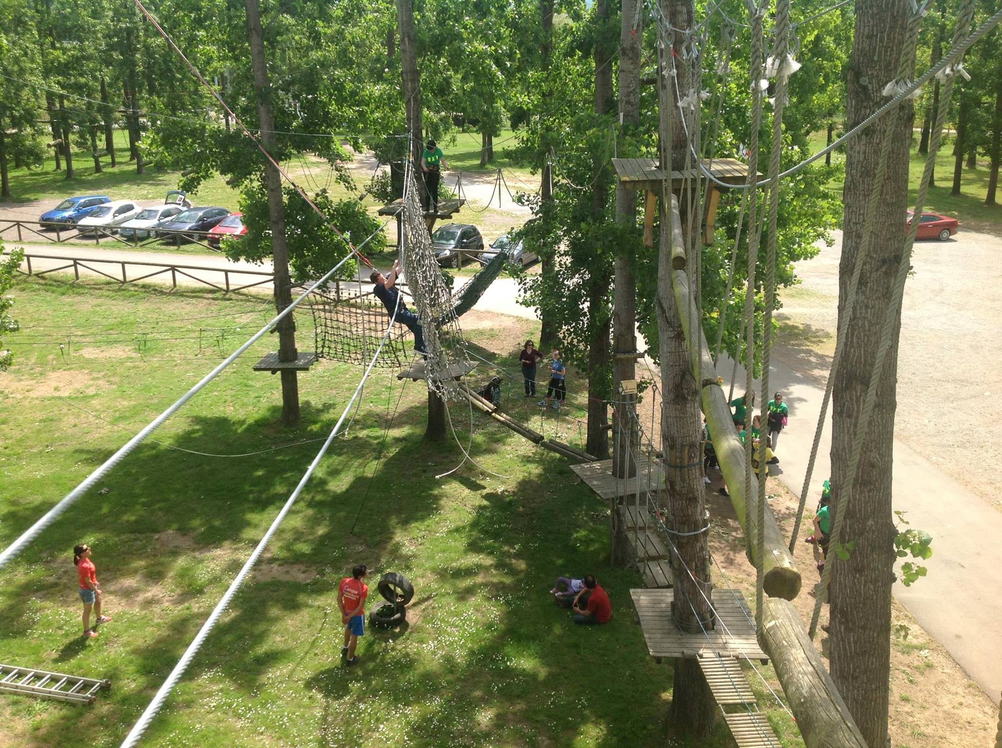
EXCITEMENT AND ADRENALIN WITH ZIP-LINES AND CLIMBING
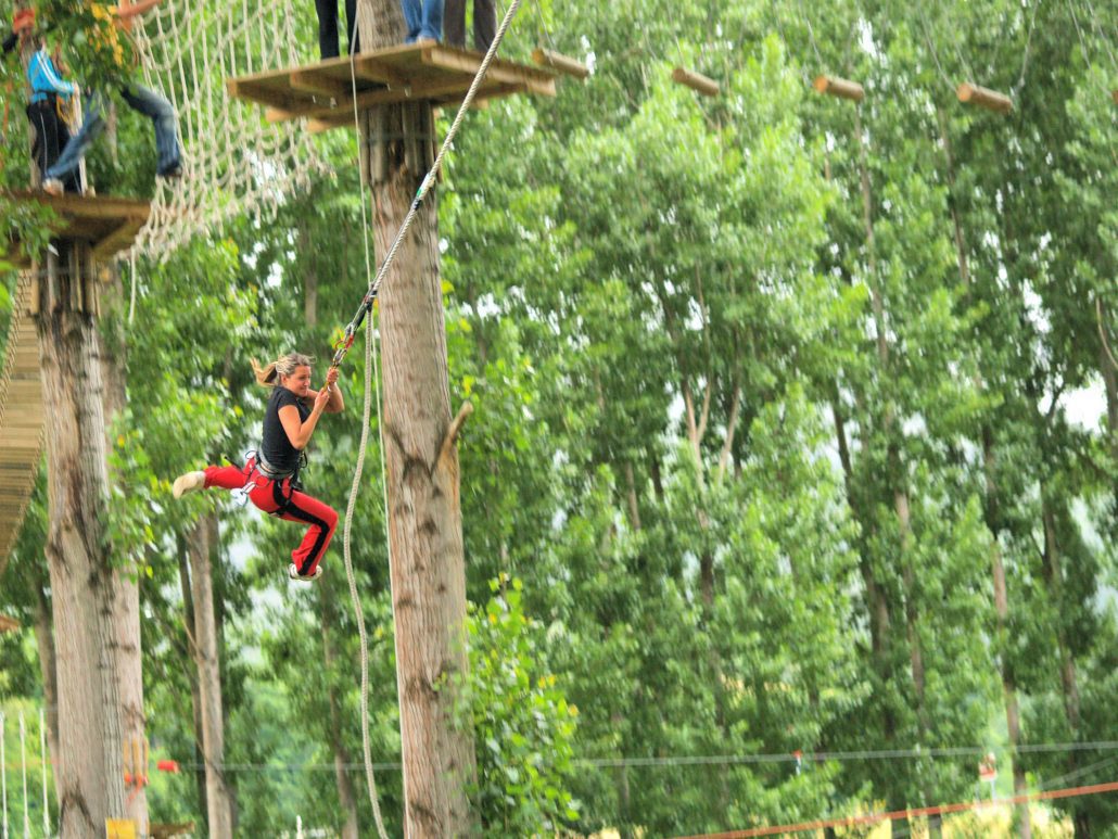
ZIP-LINE CIRCUITS
SCHEDULE: Monday to Sunday from 9 am to 7.30 pm
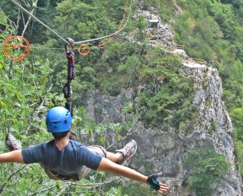
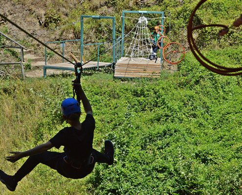
The longest one is about 500 meters long and 250 meters above Sella river. The shortest ones are about 70 meters long and 85 meters above Sella river. As the zip-lines get shorter you will be getting more speed.
MOUNTAIN CLIMBING USING IRON WAY
SCHEDULE: Monday to Sunday from 9 am to 7.30 pm
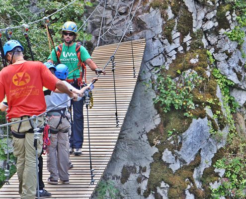
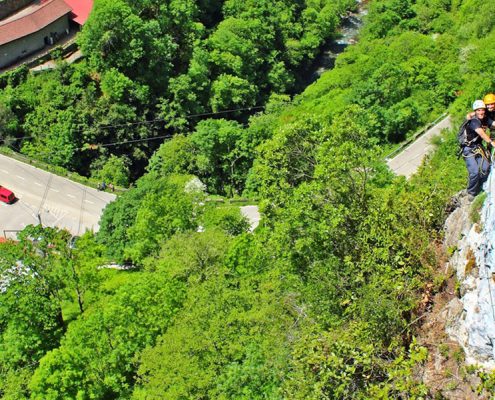
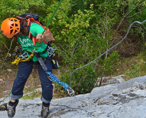
It is an itinerary both vertical and horizontal. You will be equipped with some material: nails, staples, banisters, chains, hanging bridges and zip-lines, which allow to safely get to hardest access places for people not used to climb. Security is borne by a steel cable installed during the whole way, harness provided by an energy dissipater and special carabiners which secure the person faded by a fall. All of that followed by an authorized professional guide.
